

Soil Investigation
Soil investigation services to understand ground conditions, bearing capacity, and subsurface characteristics.
- Standard Penetration Test (SPT)
- Cone Penetration Test (CPT)
- Field CBR Test
- CPTu
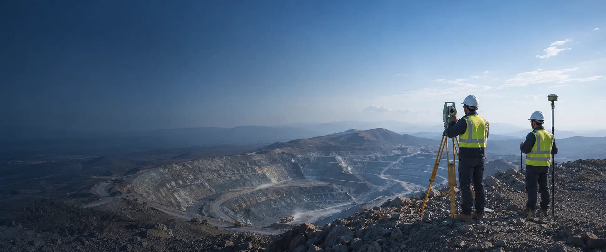
Choose soil investigation, exploration and drilling, or survey and mapping services to match the field data and technical requirements of your project.
Vander Indo Survey provides integrated services for field data acquisition, soil investigation, drilling, and survey mapping across a wide range of industrial projects.
Soil investigation services to understand ground conditions, bearing capacity, and subsurface characteristics.

Drilling and exploration services for subsurface, geotechnical, and monitoring data requirements.

Survey and mapping services supporting geological, topographic, resistivity, and bathymetric data needs.
The services most frequently requested for projects.
Discuss your soil investigation, drilling, or survey and mapping requirements with the Vander Indo Survey team.