


Integrated Field Services
Soil investigation, drilling, surveying, and mapping from a single provider.
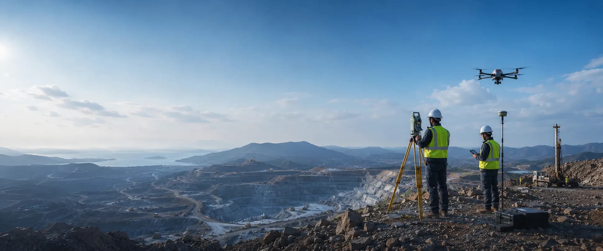
Soil Investigation • Drilling • Survey & Mapping
Vander Indo Survey provides soil investigation, geotechnical drilling, topographic survey, drone LiDAR, resistivity, and bathymetric services to deliver the technical data needed by mining, construction, infrastructure, energy, and land development projects in Kalimantan and across Indonesia.
Our Services
Vander Indo Survey delivers integrated field investigation and survey services to obtain soil, rock, topographic, geophysical, and subsurface data as the basis for planning, design, analysis, and technical project decisions.
Why Vander Indo Survey
We help companies obtain measured and well-documented field data to support planning, design, analysis, construction, and project development.
Soil investigation, drilling, surveying, and mapping from a single provider.
An experienced field team handling survey and investigation work across varied site conditions.
Field equipment that supports systematic and measurable data acquisition.
Work methods tailored to site conditions, investigation objectives, scope of work, and the data outputs your project needs.
Project Portfolio
Documentation of soil investigation, drilling, topographic survey, drone mapping, resistivity, and bathymetric work for mining, construction, infrastructure, energy, and industrial projects.
View Project Portfolio


Industries We Serve
Surveying, exploration, soil investigation, drilling, and mapping to support mining operations.
Field data to support the planning of roads, bridges, ports, industrial estates, and infrastructure facilities.
Soil investigation and field surveys to support foundation design and construction planning.
Land surveys and investigations for industrial, commercial, property, and new development areas.
Surveys and technical data collection for energy facilities and their supporting infrastructure.
Surveys, investigations, and mapping to support development programmes and the technical needs of public agencies.
Service Area
Vander Indo Survey serves soil investigation, drilling, topographic survey, drone mapping, resistivity, and bathymetric projects in East Kalimantan, the wider Kalimantan region, and throughout Indonesia according to project needs and location.
Insight
 Soil InvestigationStandard Penetration Test (SPT): Investigasi Tanah untuk Fondasi yang Kuat"Vander Indo Survey melakukan Standard Penetration Test (SPT) untuk investigasi tanah bawah permukaan, mendukung perencanaan rekayasa yang aman, efisien, dan andal."Read Article
 Survey PemetaanTopography Survey: Pemetaan Presisi untuk Perencanaan Infrastruktur"Tim Vander Indo Survey melaksanakan topography survey menggunakan total station untuk pemetaan area saluran air, mendukung perencanaan infrastruktur yang akurat dan andal.Read Article
 Eksplorasi dan PengeboranExploration Drilling: Data Akurat dari Kedalaman Tanah"Tim Vander Indo Survey melaksanakan kegiatan exploration drilling menggunakan rig pengeboran untuk investigasi bawah permukaan, dengan pencatatan data lapangan secara sistematis dan akurat."Read Article
Frequently Asked Questions
Vander Indo Survey provides soil investigation such as SPT, CPT, CPTu, and CBR, exploration and geotechnical drilling, full coring, topographic survey, drone LiDAR, resistivity survey, and bathymetric survey.
Yes. Our services support mining projects, including soil investigation, drilling, mapping, topographic survey, exploration, and field condition data collection.
Yes. We can mobilise to project sites throughout Kalimantan and other regions of Indonesia, depending on the scope and requirements of the work.
Helpful initial information includes the project location, type of work, area size or number of points, target depth, investigation objectives, site access conditions, and target schedule.
Tell us your project location, type of work, number of points or area size, target depth, and the data you need. The Vander Indo Survey team is ready to help you determine the right survey and investigation method for your project.